HomeGoto the A38 Dobwalls Bypass project page
ProgressSee how the scheme is progressing
LocationsSee how a location changes over the months
Published schemeAn interactive map of the published scheme
Health and SafetyPlease keep safe
ArchaeologyWhat have the archaeologists found?
About FozimageAll about the fozimage concept
FeedbackI would love to know what you think
A38 Dobwalls Bypass - Monthly changes at Petersfield
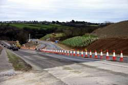
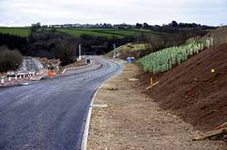
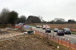
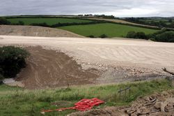
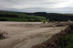
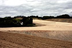
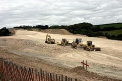
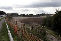
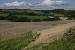
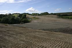
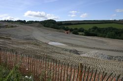
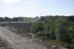
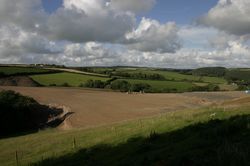
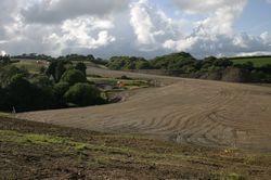
23rd February 2008 - Looking down the hill we can see how the Moorswater Distributor road will tie into the existing road.
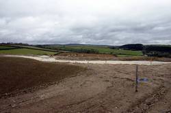
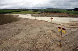
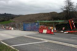
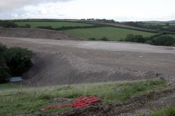
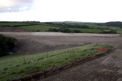
23rd February 2008 - At Petersfield the route of the slip road has been marked out using hardcore as the foundation layer.
20th January 2008 - At Petersfield the temporary lights on the A38 have been removed.
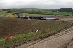
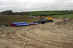
20th January 2008 - Accross the road drainage pipes are being laid.
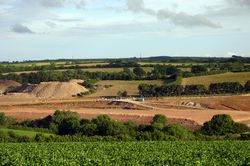
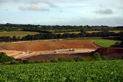
2nd September 2007 - As the embankment gets higher the line of the slip road off the western carrigeway can be seen.
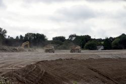
31st August 2007 - Heavy plant continue to move the earth.
16th August 2007 - More earth excavated at Lantoom is being moved to the Petersfield enbankment.
29th July 2007 - The slip road embankment starts to grow.
8th July 2007 - Work continues to infill the valley.
19th June 2007 - The river culverts are covered over.
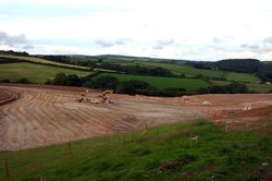
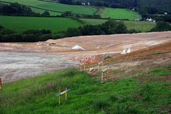
and the infill work continues.
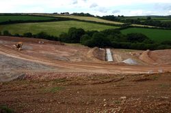
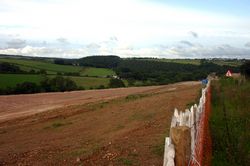
Looking south from Tuelmenna you can see how much earth is being moved.
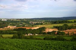
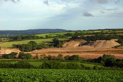
3rd June 2007 - Earth spoil from Moorswater and Havett Hill continues to be deposited in the valley below Tuelmenna woods.
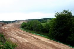
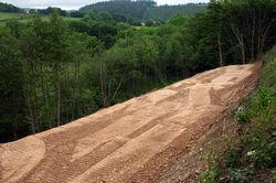
Known as Petersfield embankment there will be approx 17m of infill.
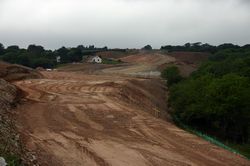
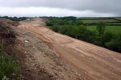
19th May 2007 - Down in the valley shuttering and a culvert is being built for the Petersfield stream that joins the East Looe River below Lantoom with Blackwater stream.
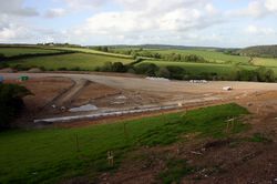
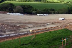
More culvert and drainage pipes are being laid.
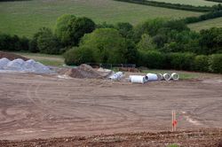
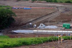
29th April 2007 - This is the view looking North from the hill.
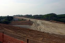
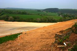
27th April 2007 - Down in the valley the excavated earth from Havett Hill and Lantoom is used to build up the new route.
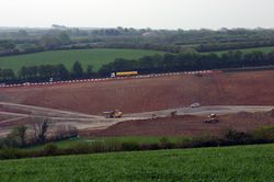
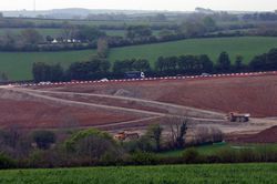
Temporary lights on the hill are used to allow heavy plant to cross the A38.
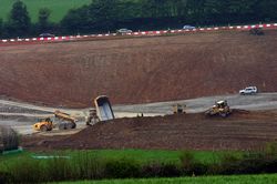
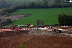
18th March 2007 - You can now see very clearly ther proposed route up to the brow of the hill where the bypass will go under Havett Hill - this bridge is to be built before excavations begin.
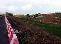
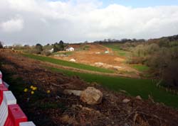
The Petersfield and Blackwater streams flow in the valley floors. These will be culverted before the valley is infilled. The Petersfield embankment will be some 17m higher than the valley floor.
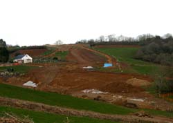
25th February 2007 - Trees in the valley are being cleared.
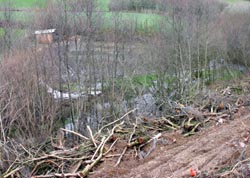
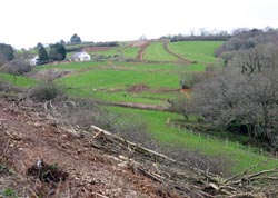
And further up the hill you can see the route North West to Havett Hill between Petersfield farm and Tuelmenna Woods.
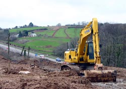
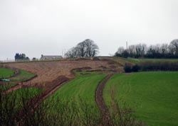
15th October 2007 - There will be a slip road here from the new bypass onto the Moorswater distributer road that will take you into the village.
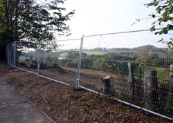
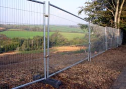
Clearance work has also started down in the valley between Petersfield farm and Tuelmenna Woods. .
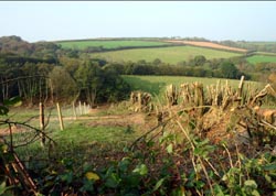
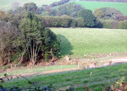
These pages show the changes over the duration of the project
Any views on the bypass
or these images?
Let me know by using my
feedback link.
