
HomeGoto the A38 Dobwalls Bypass project page
ProgressSee how the scheme is progressing
LocationsSee how a location changes over the months
Published schemeAn interactive map of the published scheme
Health and SafetyPlease keep safe
ArchaeologyWhat have the archaeologists found?
About FozimageAll about the fozimage concept
FeedbackI would love to know what you think
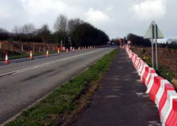
A38 Dobwalls Bypass - March 2007 - Lantoom looking NW towards Havett Hill
Earthworks have started in the valley between Lantoom and Havett Hill.
You can now see very clearly ther proposed route up to the brow of the hill where the bypass will go under Havett Hill - this bridge is to be built before excavations begin.
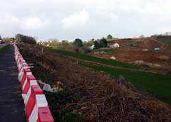
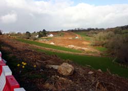
The Petersfield and Blackwater streams flow in the valley floors. These will be culverted before the valley is infilled. The Petersfield embankment will be some 17m higher than the valley floor.
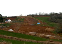
All the trees have been cleared on both sides of the hill into Dobwalls.
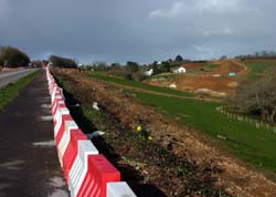
Any views on the bypass
or these images?
Let me know by using my
feedback link.
