HomeGoto the A38 Dobwalls Bypass project page
ProgressSee how the scheme is progressing
LocationsSee how a location changes over the months
Published schemeAn interactive map of the published scheme
Health and SafetyPlease keep safe
ArchaeologyWhat have the archaeologists found?
About FozimageAll about the fozimage concept
FeedbackI would love to know what you think
A38 Dobwalls Bypass - April 2007 - Tuelmenna - Havett Farm
From Lantoom the route of the bypass goes North West to Havett Hill, passing just South of Tuelmenna Woods and Havett Farm. This part of the route is referred to as Petersfield embankment.
As the route approaches Havett Hill it goes into a cutting. The recent dry weather has really helped with the excavation work.
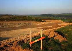
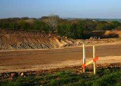
Heavy plant is at work from 7am to 7pm five days a week - with a half day on Saturdays.
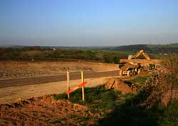
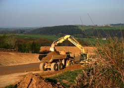
The contractors keep to these times to avoid noise disturbance for the villagers.
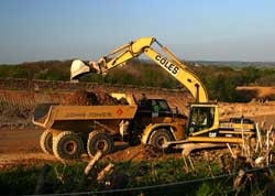
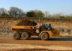
The earth is kept on site, taken down into the valley to start the infill for the slip roads and Petersfield embankment.
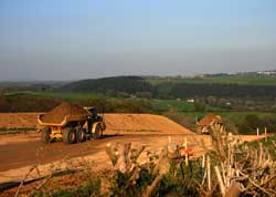
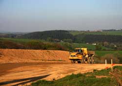
Looking East you can see the route down to Lantoom and Moorswater.
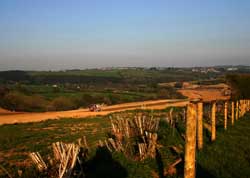
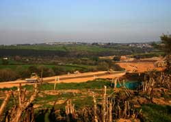
A water bowser keeps the earth moist to prevent to much dust.
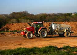
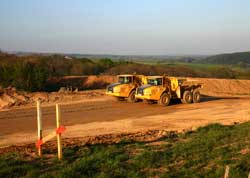
Down in the valley the excavated earth from Havett Hill and Lantoom is used to build up the new route.
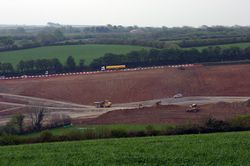
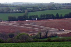
Temporary lights on the hill are used to allow heavy plant to cross the A38.
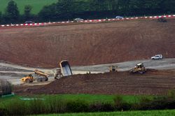
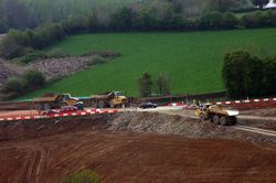
This is the view looking North from the hill.
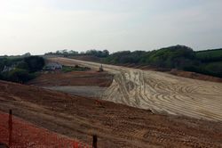
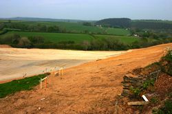
At the end of the day the plant returns to the compound.
Any views on the bypass
or these images?
Let me know by using my
feedback link.
